Ecology & biodiversity
Understand biodiversity risk and integrate nature-positive measures from planning through implementation.
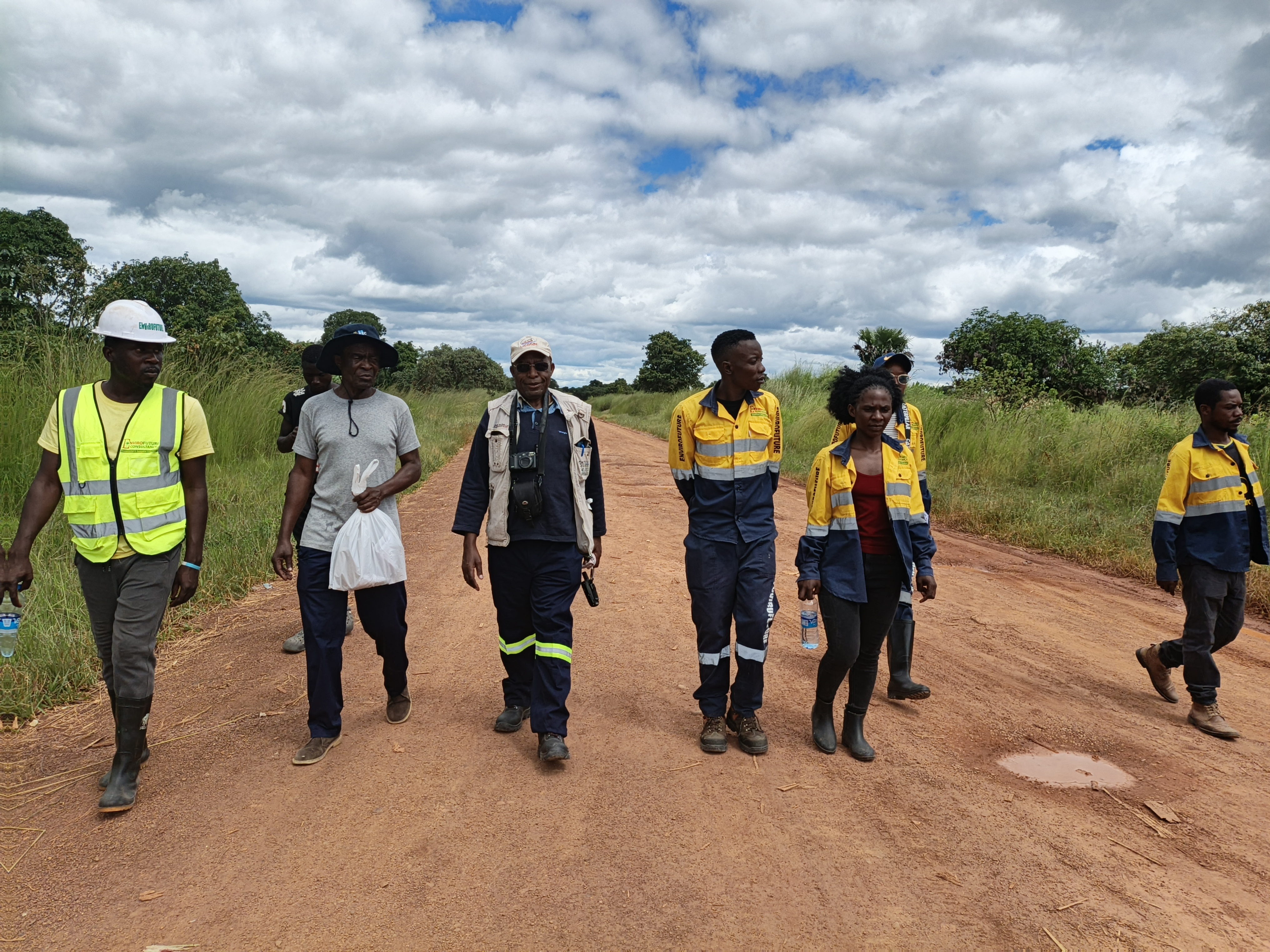
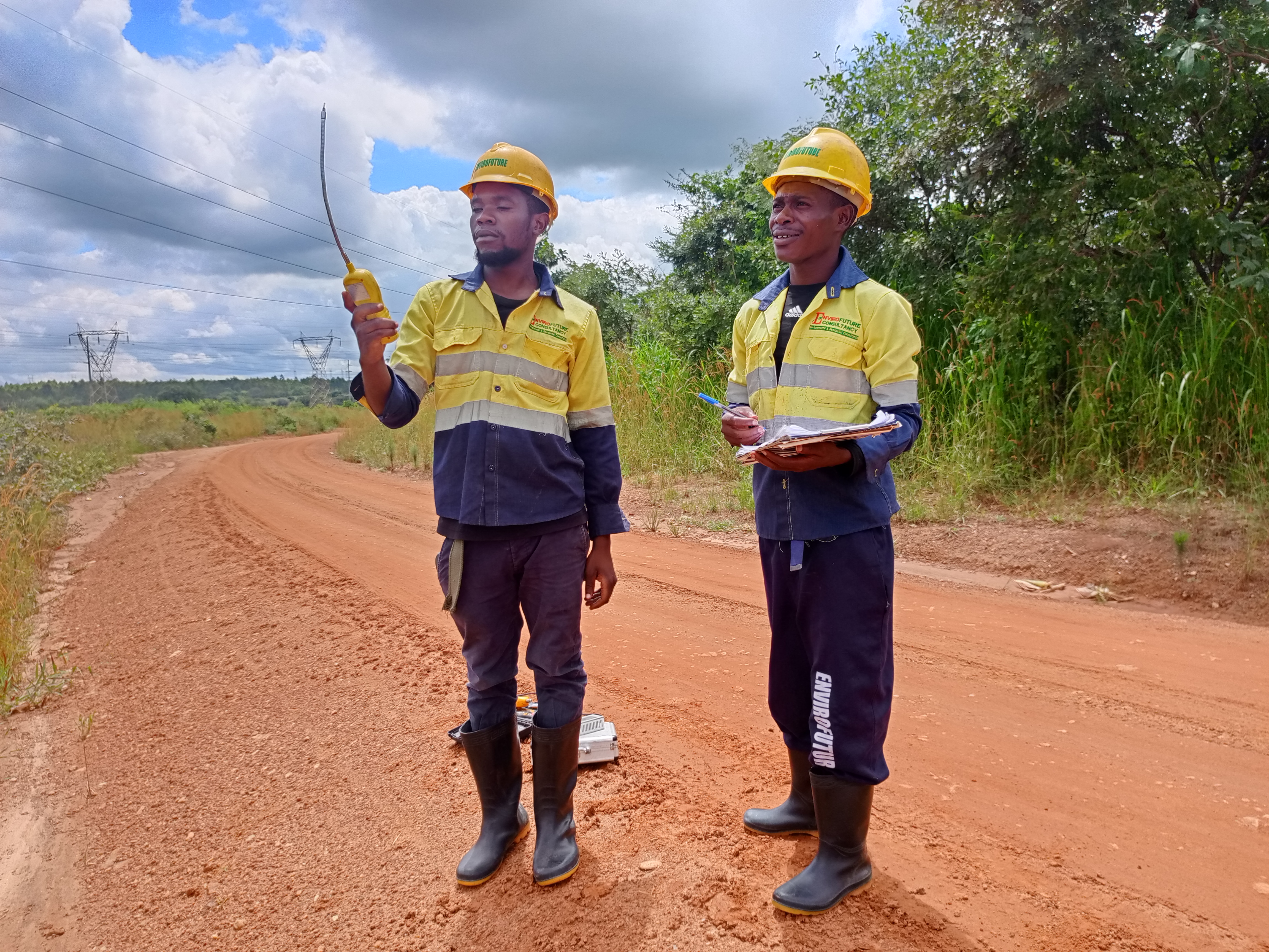
EnviroFuture supports developers, investors, financial institutions and government agencies in identifying biodiversity risks and meeting regulatory and lender requirements. Our multidisciplinary teams combine ecological field surveys, GIS, remote sensing, stakeholder knowledge and internationally recognised methods across terrestrial, freshwater and modified environments.
01Biodiversity Baseline Assessments
Wet- and dry-season surveys of habitats, flora, mammals, birds, reptiles, amphibians, fish, aquatic ecology, invertebrates, threatened species, invasive species and ecosystem services.
02Biodiversity Impact Assessment
Assessment of direct, indirect, induced and cumulative effects on species, habitats, ecological processes and ecosystem services, applying the mitigation hierarchy from avoidance through restoration and offsets.
03Critical Habitat Assessment
Screening and assessment of threatened, endemic, migratory and restricted-range species, unique ecosystems, protected areas and other conservation values in line with international lender safeguards.
04Biodiversity Action Plans
Practical conservation objectives, species- and habitat-specific actions, responsibilities, budgets, indicators, adaptive management and performance-review arrangements.
05Biodiversity Management Plans
Construction and operational controls covering pre-clearance surveys, no-go areas, vegetation clearance, wildlife rescue, invasive species, watercourse protection and progressive rehabilitation.
06Flora and Fauna Surveys
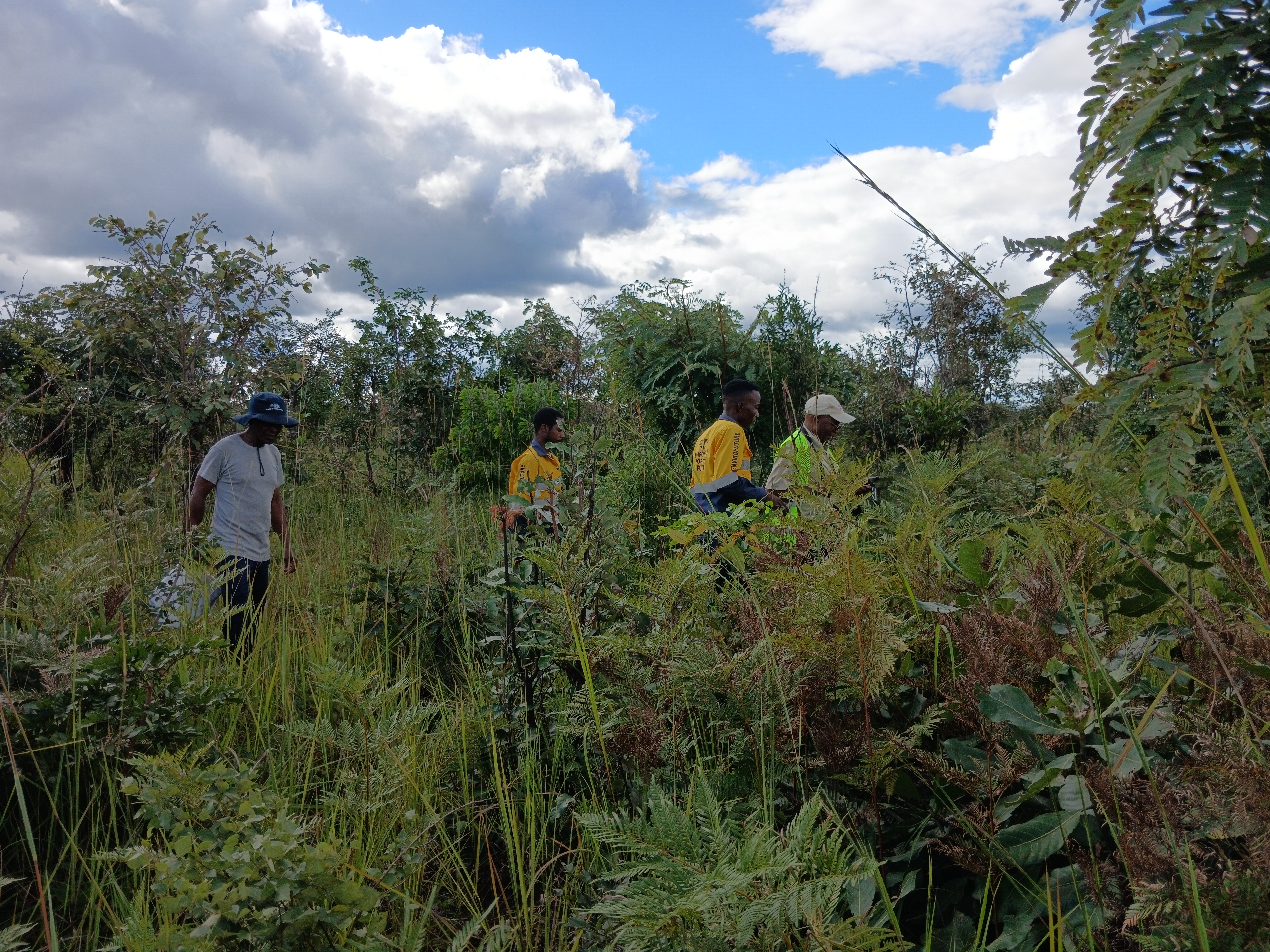
Seasonally appropriate vegetation plots, transects, species inventories, camera trapping, bird counts, spoor surveys, herpetofauna searches and aquatic and riparian assessments.
07Ecosystem Services Assessment
Identification of priority benefits including water, food, fuelwood, grazing, medicinal plants, flood regulation and culturally important landscapes, with findings integrated into environmental and social planning.
08GIS, Remote Sensing and Habitat Mapping
Spatial analysis for habitat mapping, land-cover change, fragmentation, connectivity, wetlands, critical habitat screening, alternatives analysis and monitoring design.
09Ecological Restoration and Rehabilitation
Reference-condition assessment, indigenous species selection, topsoil and vegetation planning, erosion and invasive-species control, progressive rehabilitation and performance monitoring.
10Biodiversity Monitoring and Compliance Audits
Monitoring and independent review against ZEMA conditions, approved management plans, Zambian legislation, lender standards and project commitments.