info@envirofutureconsultancy.com Plot No. 11, 15th Street (Opposite Nkana Cemetery) Nkana East, Kitwe, Zambia (+260) 978 652214

Follow Us

Geospatial Consultancy

  • Home
  • Geospatial Consultancy

Geospatial Consultancy

We provide Geographic Information System (GIS) Map Production services to create accurate and detailed maps tailored to your project needs. Our GIS maps are essential for planning, decision-making, and environmental management. They offer visual representations of spatial data that are crucial for understanding geographic patterns and relationships.

  • 01

    GIS MAP PRODUCTION

    We provide Geographic Information System (GIS) Map Production services to create accurate and detailed maps tailored to your project needs. Our GIS maps are essential for planning, decision-making, and environmental management. They offer visual representations of spatial data that are crucial for understanding geographic patterns and relationships.

  • 02

    DATA DIGITIZATION AND MANAGEMENT

    Our Data Digitization and Management services involve converting physical maps and documents into digital formats. We ensure that your geospatial data is accurately digitized, organized, and stored for easy access and analysis. Effective data management is key to maintaining the integrity and usability of geospatial information over time.

  • 03

    SATELLITE IMAGERY ANALYSIS

    We specialize in Satellite Imagery Analysis to provide insights into land use, vegetation cover, and other environmental factors. By interpreting satellite images, we can monitor changes in the environment, assess the impact of human activities, and support planning and conservation efforts. Our analysis is crucial for projects that require a broad perspective on environmental conditions.

  • 04

    GIS MODELLING AND ANALYSIS

    Our GIS Modelling and Analysis services offer advanced spatial analysis to support decision-making in environmental management, urban planning, and natural resource management. We use GIS models to simulate real-world scenarios, predict outcomes, and identify optimal solutions. This analytical approach helps in understanding complex spatial relationships and improving project outcomes.

  • 05

    REMOTE SENSING

    We utilize Remote Sensing technology to collect and interpret data from the earth’s surface without physical contact. This method is ideal for large-scale environmental monitoring, disaster management, and resource assessment. Our remote sensing services provide critical data that supports informed decision-making and sustainable project implementation.

  • 06

    DRONE MAPPING AND SURVEYING

    Our Drone Mapping and Surveying services deliver high-resolution aerial imagery and precise topographic data. Drones offer a cost-effective and efficient way to map and survey areas that are difficult to access. We provide detailed maps and 3D models that are essential for environmental assessments, construction planning, and agricultural management.

echofy

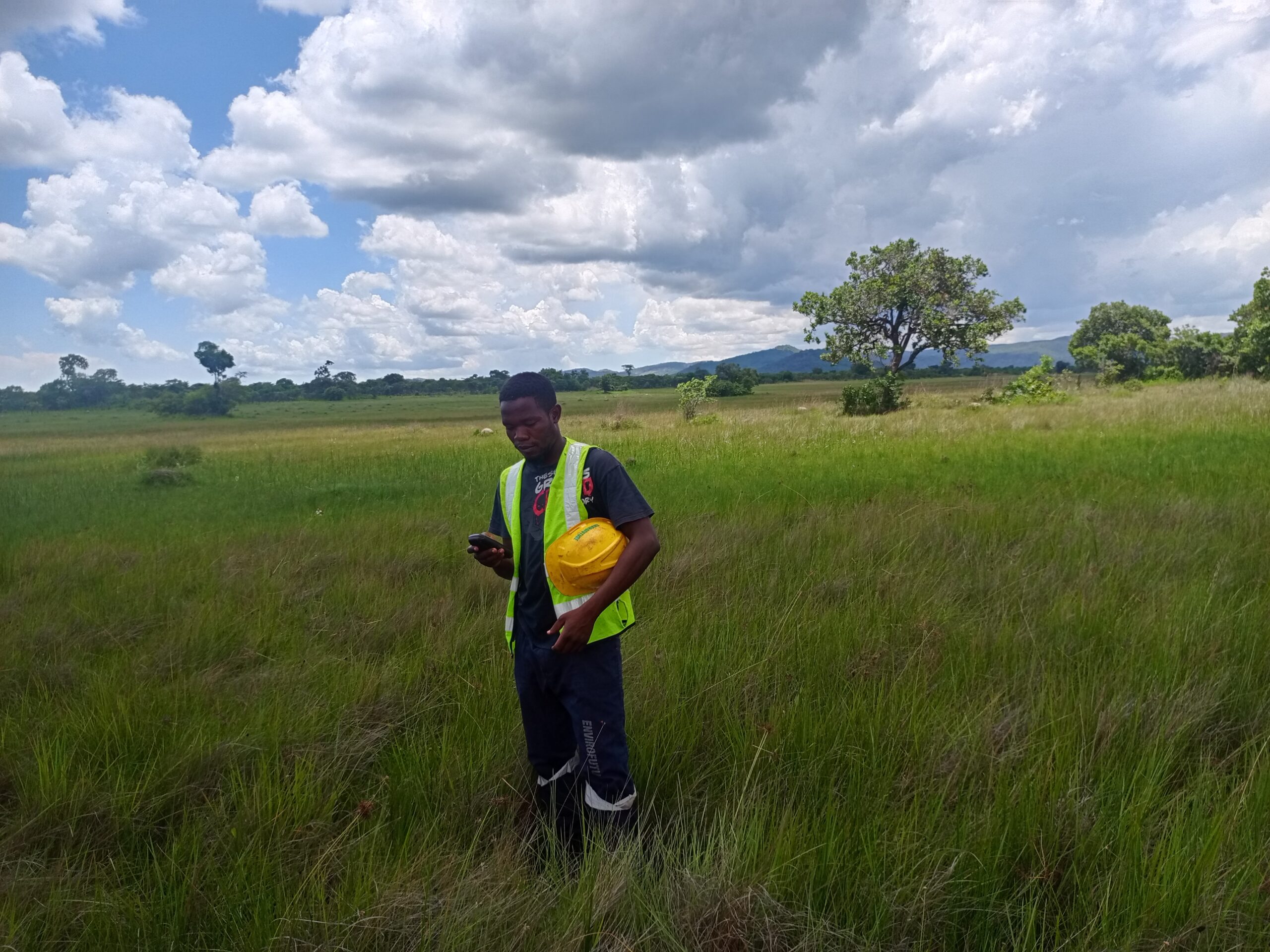
ENVIRONMENTAL AND SOCIAL IMPACT ASSESSMENTS (ESIA)

Our Environmental and Social Impact Assessments (ESIA) are designed to evaluate the potential environmental and social effects of proposed projects before they are undertaken. We conduct comprehensive studies that consider ecological, social, economic, and cultural impacts, ensuring that your project aligns with regulatory requirements and sustainable development goals. By identifying and mitigating potential risks, we help you make informed decisions that contribute to both environmental stewardship and community well-being.

echofy

ENVIRONMENTAL PROJECT BRIEFS (EPB)

An Environmental Project Brief (EPB) is a crucial step in the environmental management process, providing a concise summary of your project's objectives, activities, and potential impacts. Our team prepares detailed EPBs that comply with legal requirements, offering a snapshot of the project’s environmental footprint. This document helps stakeholders understand the scope of your project and its alignment with environmental standards, facilitating a smoother approval process.

Continually fashion of more orthogonal leadership skills whereas wireless metrics. Uniquely syndicate exceptional opportunities with more interdependent users. Globally enhance fully tested meta-services rather than pandemic . Proactively integrate client-integrate go forw more thanoptins architectures and turnkey meta-services. harness integrated ROI whereas frictionless products.

echofy

Serving the Environment for the Future!

What the Benifits?

Alternative innovation to ethical network environmental whiteboard pursue compelling results for premier methods empowerment. Dramatically architect go forward opportunities

echofy

Renewable Energy

  • echofy New Modern Equipments
  • echofy Expert’s Volunteers
echofy

Renewable Energy

  • echofy New Modern Equipments
  • echofy Expert’s Volunteers

Categories

echofy

.

Call Us Anytime

(+260) 978 652214